Orca App Navigation: charts, radar and AIS insights
Alexandra
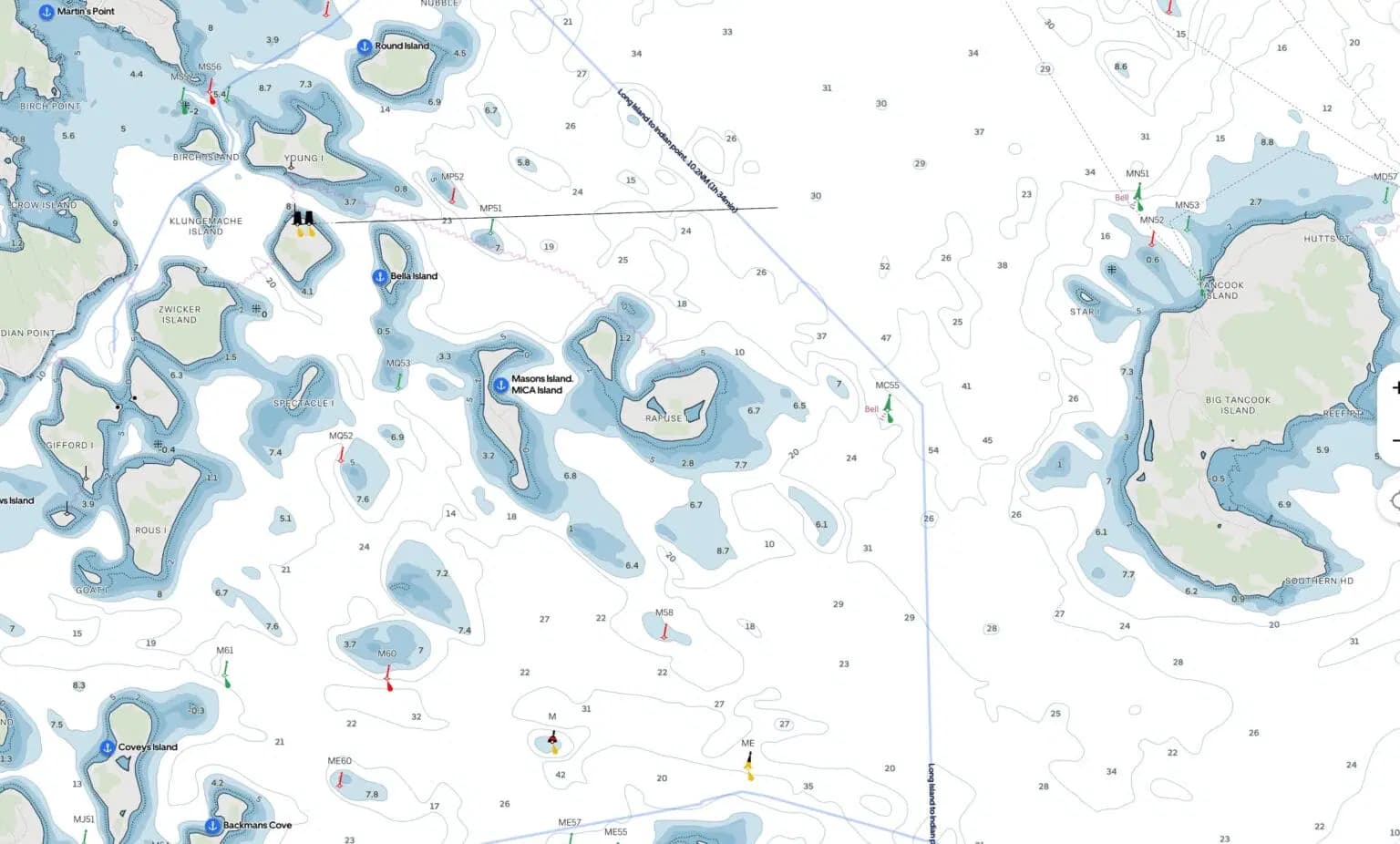
Chart fidelity and coastal navigation constraints
Chart resolution and the availability of high-frequency hydrographic updates directly affect safe route planning in shallow, dynamic areas such as the Waddenzee and other intertidal zones. In practice, Orca’s app presents noticeably lower chart detail compared with national hydrographic products—Rijkswaterstaat charts, for example, which are updated by drone bathymetry, appear degraded when rendered in Orca. That loss of local depth granularity compromises anchor selection and narrow-channel transits where depth contours and shallow-spot markers are critical.
Regional comparisons and user experience
Users reporting comparisons between Orca and industry-standard solutions note:
- Raymarine with Navionics on tablet devices offers acceptable detail in many areas but still falls short of the Rijkswaterstaat standard for the Waddenzee.
- Orca’s charting for Norway—ostensibly its home waters—also shows reduced detail versus native marine charts, limiting confidence for close-coastal navigation.
- Workarounds such as streaming OpenCPN from an onboard Raspberry Pi to an iPad are technically feasible but represent “geek territory” and are not an elegant solution for most cruisers or charter operators.
Radar and instrument integration: Ethernet realities
Integration over Ethernet with systems like the B&G Halo 20+ radar is inconsistent. In certain modes radar returns match a Zeus 3S display closely; in others the radar layer is absent or heavily degraded. This variability creates operational risk: crews relying on a tablet-based display need deterministic, reliable radar imagery for collision avoidance, especially in congested or low-visibility conditions.
📚 You may also like
Recommendations for instrument integration
- When using Orca Core as a secondary display, keep a primary, validated radar and plotter as mission-critical hardware.
- Disable radar feeds to non-dedicated systems in high-risk passages until the feed behavior is proven stable.
- Log and report Ethernet integration failures to allow vendors to trace packet handling and mode negotiation bugs.
AIS, remote data and over-the-horizon advantages
Orca’s incorporation of MarineTraffic-sourced AIS offers clear planning advantages in areas with excellent mobile coverage, such as much of Norway with widespread 4G/5G. Internet-sourced AIS fills gaps where VHF line-of-sight is shadowed by terrain and helps identify targets that an onboard AIS receiver may not see. However, conflating shore-sourced AIS with locally received targets on a single plot without clear provenance labels can mask onboard equipment failures and create false confidence for less experienced users.
| Feature | Strength | Risk / Limitation |
|---|---|---|
| Remote monitoring (Starlink) | Real-time vessel telemetry and weather observation from ashore | Depends on satellite uptime and data plan |
| MarineTraffic integration | Over-the-horizon AIS and vessel details/images | Can obscure onboard AIS faults unless clearly marked |
| Radar over Ethernet | Potential single-cable integration with multifunction displays | Intermittent and degraded imagery reported — not ready as primary collision-avoidance display |
Planning tools, autorouting and practical use
Orca’s autorouting provides useful passage-duration estimates even when waypoint lines are imperfect. For planning and route upload to chartplotters (e.g., Raymarine), Orca can be a productive partner system—especially for route pre-planning and sharing the same route with a primary Axiom or similar plotter. This makes Orca attractive as a secondary planning tool in a dual-system helm setup.
Software maturity, chart licensing and competitive landscape
Chart availability is both a technical and commercial constraint. The dominant chart folios—Navionics and C-Map—are now under the ownership of major plotter manufacturers (Garmin and Navico), creating potential licensing friction for third-party navigation apps. Open alternatives (S-57/S-100, OpenCPN, Chart Locker) are improving, but a Navionics-level user experience from non-proprietary sources is still a work in progress.
Zora and the idea of open systems
Competing products like Zora (iNav4U) emphasize cloud architecture, dealer channels and remote updates; early adopters and long-term beta vessels have been part of field-testing. Zora’s model gathers existing vessel bus data and offers cloud-backed updates, while Orca’s Core adds sensors and aggregates onboard data. Both approaches demonstrate that the market is exploring diverse paths toward integrated navigation and vessel operating systems.
Practical implications for charter operators and boat rentals
For commercial operators and private owners who rent boats, reliability equals reputation. In a rental or charter context, navigation apps used as primary displays must be predictable, fully documented and accompanied by operator education. Issues such as chart licensing, device provisioning limits (e.g., Navionics device locks), and intermittent radar/AIS presentation can impose liability and customer dissatisfaction if not managed.
- Train skippers and charter clients to verify onboard AIS and radar independently of internet layers.
- Provide redundancy: a primary chartplotter, a validated radar, and a tablet running any planning app.
- Document emergency procedures should tablet-based navigation fail mid-passage.
GetBoat always keeps an eye on news related to sailing and seaside vacations, as we truly understand what it means to enjoy great leisure and love the ocean. The service values freedom, energy, and the ability to choose your own course; it places no limits on a good life, allowing clients to find a vessel that suits their preferences, budget, and taste. By following developments in navigation software and hardware, GetBoat helps owners and renters choose boats and systems that match their operational needs and safety expectations.
Forecast-wise, this type of incremental product evolution is unlikely to reshape the global tourism and travel map by itself; its primary impact is local and operational—improving trip planning, over-the-horizon situational awareness, and remote vessel monitoring for cruisers and charter fleets. However, it is still relevant to customers: GetBoat aims to stay abreast of such developments and keep pace with the changing world. If you are planning your next trip to the seaside, consider the convenience and reliability of GetBoat.
Highlights: Orca shows real promise as a planning partner with remote telemetry and internet-AIS advantages, but current limitations in charts, intermittent radar integration and the potential for confusing AIS provenance mean that sailors and charter operators should treat it as a supplementary tool. Experiencing a new location is always a multifaceted process where one learns about the culture, nature, the indescribable palette of local colors, its rhythm of life and also the unique aspects of the service; if you are planning your next trip to the sea, you should definitely consider renting a boat (boat rentals, rent a boat, rent a yacht), as each inlet, bay, and lagoon is unique and tells you about the region just as much as the local cuisine, architecture, and language GetBoat.com
In summary, Orca’s app delivers useful planning and remote-monitoring capabilities—remote Starlink telemetry, over-the-horizon AIS, and handy route-duration estimates—yet its current chart fidelity, radar reliability and chart-licensing constraints limit its readiness as a standalone primary navigation system. For charter guests and owners seeking reliable yachting experiences, the best practice remains: pair innovative tablet solutions with proven multifunction displays and trained captains. GetBoat.com supports those needs by offering access to a global selection of yachts, boats and charters with transparent details on make, model and ratings, helping you book or buy the right vessel for clearwater days, fishing trips, gulf crossings or superyacht escapes — ensuring boating, sailing and yachting adventures that match your budget and taste.