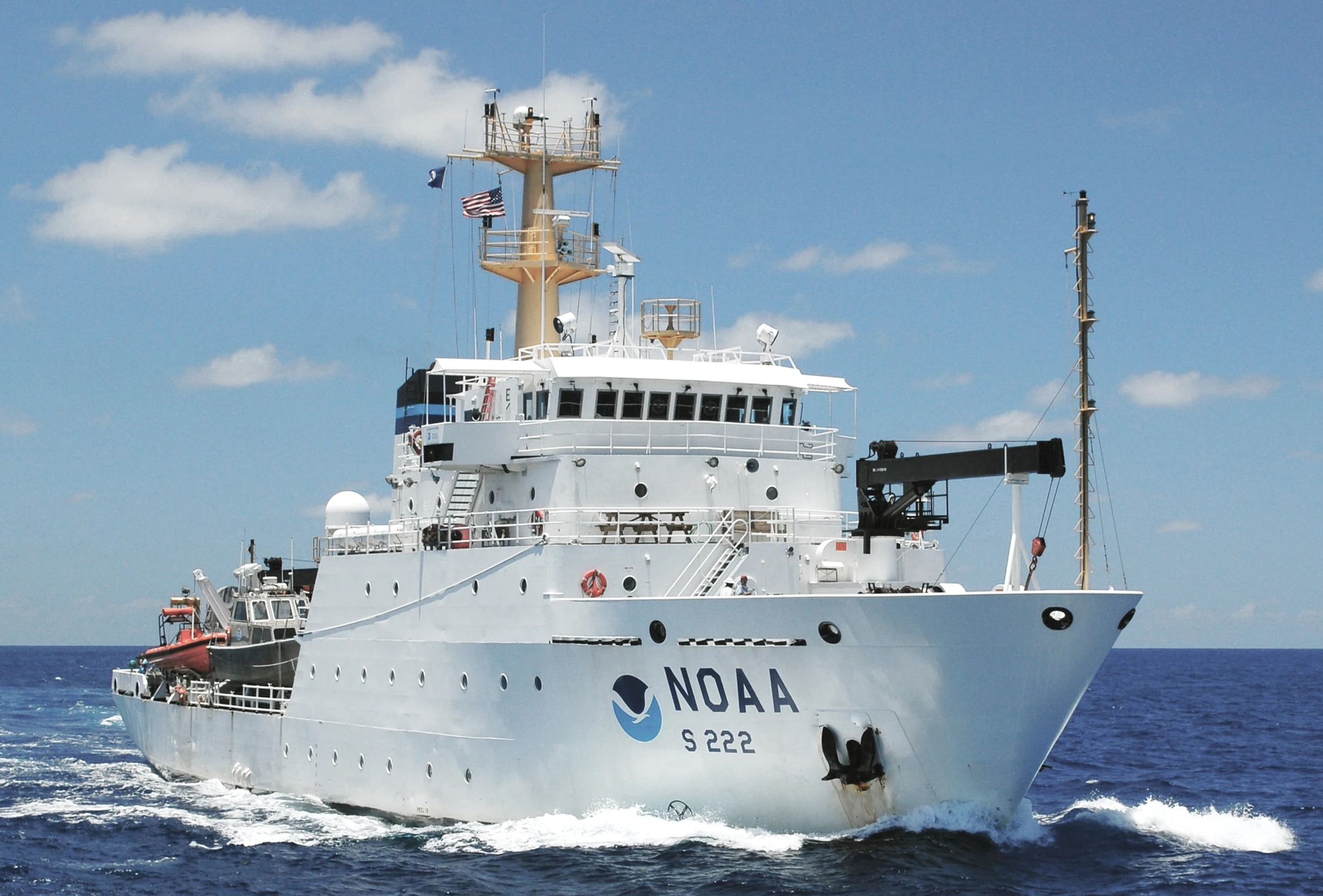
Introduction to NOAA and Its Impact on Boating
The National Oceanic and Atmospheric Administration (NOAA) plays a crucial role in supporting recreational boating and sailing activities across the United States. Through its extensive research and data gathering efforts, NOAA ensures that mariners have the necessary information to navigate safely and enjoy the seas.
The Foundation of NOAA
With its headquarters situated in Silver Spring, Maryland, NOAA is a significant division of the United States Federal Department of Commerce. Comprising over 12,000 employees and a dedicated Commissioned Corps of uniformed service members, NOAA operates a vast network that includes seven federal research laboratories, thereby creating useful partnerships with approximately 50 universities and institutions. As a result, NOAA generates an astonishing volume of scientific data daily, making it freely accessible to the public, which undoubtedly proves beneficial for recreational sailors and boaters alike.
NOAA’s Diverse Divisions
NOAA’s work spans various critical areas through its operational divisions:
- National Environmental Satellite Data and Information Service
- National Marine Fisheries Service
- National Ocean Service
- National Weather Service
- Office of Oceanic and Atmospheric Research
- Office of Marine and Aviation Operations
- Office of Space Commerce
Historical Background of NOAA
NOAA’s legacy dates back to a time before the American Revolutionary War, during which shipping along the rugged eastern coast of North America presented significant challenges. Following the Declaration of Independence in 1776, the demand for effective navigation increased dramatically. To address these challenges, President Thomas Jefferson established the United States Survey of the Coast in 1807, aiming to map crucial waterways and outline safe navigation routes.
This initiative laid the groundwork for subsequent discoveries, including the mapping of the continental shelf and significant underwater geological features like the Monterey Canyon. Though the survey faced interruptions during the Civil War, it resumed in 1871 and adapted its methodologies, including the introduction of innovative devices for accurate water depth measurement. The new technologies included a cable-sounding machine, which replaced earlier, less reliable methods, revolutionizing the data gathered for navigation purposes.
Progress Throughout the Century
Over the years, the organization witnessed substantial advancements. The first deepwater charts were created in 1878, and systematic oceanographic research was conducted throughout the late 19th and early 20th centuries, which contributed to a wealth of knowledge about aquatic environments. World events, including the sinking of the Titanic in 1912, accelerated the development of detection devices for submerged hazards, thus enhancing maritime safety.
Innovations That Followed
In 1947, NOAA introduced the Electronic Position Indicator (EPI), marking a monumental step for maritime navigation accuracy. It allowed for assessment of a vessel’s position up to 200 miles offshore, which was instrumental for charting efforts along the West Coast. Subsequent technological advancements such as multibeam sounding systems and new navigation tools birthed sophisticated charting techniques, facilitating more secure recreational sailing experiences.
The Role of NOAA in Modern Recreational Boating
Today, NOAA remains at the forefront of marine safety, primarily through its Office of Coast Survey, which is responsible for producing and maintaining nautical charts. As of January 2025, NOAA will shift towards providing electronic navigation chart data, which is instrumental for recreational boaters equipping modern Electronic Chart Display and Information Systems (ECDIS). This transition emphasizes the importance of adapting to new technologies while enhancing navigational security in busy waterways.
Benefits of Accessing NOAA Resources
Recreational boaters are advised to utilize NOAA’s resources effectively, which include detailed information about weather patterns, marine forecasts, and navigational charts. By leveraging these tools, sailors can make informed decisions prior to embarking on their voyages. Here’s a quick look at NOAA’s primary contributions:
- Real-time weather alerts and marine forecasts
- Access to electronic navigation charts
- Data on coastal conditions and hazards
- Research on marine ecosystems and safety guidelines
Connecting Recreational Boating and NOAA
The relationship between recreational boating and NOAA is essential for uncovering the breathtaking adventures that water and sailing have to offer. At GetBoat, the passion for sailing and beach experiences shines through. The service recognizes the essence of freedom, energy, and creating unforgettable moments at sea.
Päätelmä
As one delves into sailing and recreational boating, the significance of NOAA cannot be overstated. Their dedication to ensuring safe navigation patterns benefits all sailors while encouraging exploration and enjoyment along the coastlines and inland waterways. The multifaceted experience of sailing involves immersing oneself in local culture, the soothing rhythm of the ocean, and indulging in the vibrant life beyond the shore.
Connecting with GetBoat.com offers a unique opportunity to secure the perfect vessel for your adventures, fulfilling your desires and aligning your journey with quality and transparency. If you are planning your next trip to the sea, consider renting a boat, as each inlet, bay, and lagoon narrates a story about the region much like the local cuisine or architecture GetBoat.com.
Option 2 (Slightly Softer):The news surrounding NOAA’s advancements is relevant to the global tourism and travel map. As GetBoat remains vigilant and informed about developments impacting recreational boating, it’s important to explore how this knowledge can be utilized in planning remarkable voyages on the open water, making GetBoat a go-to resource for every sailor.

 The Importance of NOAA for Recreational Boating">
