

 Die besten Apps für Navigation und Sicherheit beim Bootfahren">

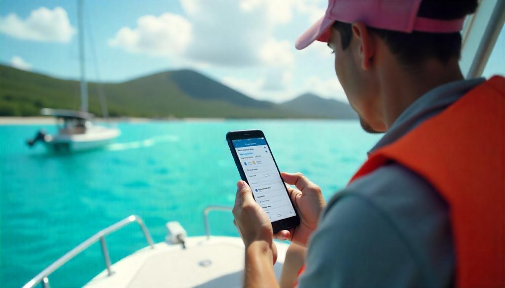
Im Jahr 2025 verbessern die besten Apps für die Navigation und die Sicherheit auf dem Wasser Ihre Bootstouren. Sie bieten GPS, Wetter-Updates und Sicherheitsfunktionen. Mit diesen Tools bleiben Sie auf Kurs und sind bestens vorbereitet. Egal, ob Sie Küstengewässer oder Binnenseen befahren, diese Apps stärken Ihr Selbstvertrauen. Hier sind die besten Apps für eine reibungslose Reise.
Navionics Schifffahrt
Navionics Boating ist führend in der Schiffsnavigation. Es bietet detaillierte Karten für Meere und Seen. Die Auto-Routing-Funktion vereinfacht die Routenplanung. Sie hilft bei der Durchquerung enger Kanäle. Community-Updates bieten Echtzeit-Tiefendaten. Die App enthält Gezeiten- und Wetterinformationen. Sie ist ideal für die sichere Navigation. Sie ist für iOS und Android verfügbar und kann kostenlos getestet werden. Ein Abonnement beginnt bei $30 pro Jahr. Damit ist die Offline-Nutzung mit Karten gewährleistet.
iNavX
iNavX verwandelt Ihr Gerät in einen Kartenplotter. Es unterstützt Karten von NOAA und Navionics. Die App bietet Wegpunktmanagement und Routenplanung. Durch die AIS-Integration werden Schiffe in der Nähe geortet. Das erhöht die Sicherheit auf dem Wasser. GRIB-Wettervorhersagen sind enthalten. Ein Ankeralarm bietet zusätzlichen Schutz. Die App eignet sich hervorragend für die Planung und Navigation. Zum Preis von $4,99 kann man Karten per In-App-Kauf erwerben. Erhältlich für iOS und Android, ist es kostengünstig.
Geschicktes Navi
Savvy Navvy kombiniert Navigation mit seglerfreundlichen Tools. Es bietet Überlagerungen von Wind, Gezeiten und Strömungen. Der Routing-Algorithmus berücksichtigt Gefahren und Gezeiten. In einigen Gebieten kann eine manuelle Anpassung erforderlich sein. Ein Ankeralarm erhöht die Sicherheit. Offline-Karten-Downloads sind ein Plus. Das Programm ist ideal für abgelegene Gewässer und kann 3 Tage lang kostenlos getestet werden. Die Software ist für iOS und Android verfügbar und basiert auf einem Abonnementmodell. Dies bietet einen modernen Navigationsansatz.
C-Map
C-Map liefert hochauflösende bathymetrische Karten. Die Schnittstelle ist intuitiv für die Küstennavigation. Automatisches Routing und Wettervorhersagen verhindern Risiken in flachen Gewässern. Die AIS-Integration zeigt Schiffe in der Nähe an. Detaillierte Informationen über Yachthäfen sind enthalten. Die kostenlose App mit In-App-Käufen ist für alle Niveaus geeignet. Sie ist für iOS und Android verfügbar und sehr benutzerfreundlich. Diese App sorgt für zuverlässige Navigation und Sicherheit.
Aqua-Karte
Aqua Map passt die Karten an den Tiefgang Ihres Schiffes an. Sie passt sich dem aktuellen Wasserstand an. Dadurch wird das Risiko einer Grundberührung wirksam reduziert. Wetter-Updates halten Sie auf dem Laufenden. Eine Community-Funktion teilt Ihre Lieblingsplätze. Die übersichtliche Benutzeroberfläche minimiert die Unübersichtlichkeit. Das Programm ist für alle Bootsfahrer geeignet und kann 14 Tage lang getestet werden. Ein Jahresabonnement kostet $59,99. Die App ist für iOS und Android verfügbar und sehr praktisch.
Argo
Argo ist eine kostenlose soziale App für die Schifffahrt. Es verwendet NOAA-Karten für die Navigation. Die manuelle Routenführung deckt Nordamerika ab. Ein Logbuch des Kapitäns verfolgt Ihre Reise. Gefahrenmeldungen in Echtzeit erhöhen die Sicherheit. Die Community-Funktion verbindet Bootsfahrer miteinander. Ein Premium-Upgrade ermöglicht die automatische Routenführung. Es enthält auch Wettervorhersagen. Die Software ist für iOS und Android verfügbar und einfach zu bedienen. Geeignet für Anfänger, die auf Sicherheit bedacht sind.
OpenCPN
OpenCPN ist eine kostenlose, quelloffene Anwendung. Sie unterstützt weltweite Karten und Gezeitendaten. AIS-Tracking ist für die Sicherheit enthalten. Plugins bieten Wetterrouting und Ankeralarm. Für Anfänger ist die Anwendung allerdings sehr komplex. Für erfahrene Segler ist sie robust und vielseitig. Es ist auf iOS, Android, Windows und macOS verfügbar und kostenlos. Dies erfordert eine gewisse Einrichtungszeit, stellt aber die Sicherheit auf offenem Wasser in den Vordergrund.
Schiffsverkehr
Marine Traffic liefert AIS-Daten in Echtzeit. Es verfolgt Schiffsbewegungen in verkehrsreichen Gebieten. Dadurch werden Kollisionen wirksam verhindert. Die Abdeckung umfasst wichtige Häfen und Routen. Allerdings können Datenverzögerungen auftreten. Die Software ist kostenlos und kann optional erworben werden. Die Software ist für iOS und Android verfügbar und dient der Standortbestimmung. Es ergänzt die primären Navigations-Apps für die Sicherheit.
Anker-Uhr
Anchor Watch bietet einen zuverlässigen Ankeralarm. Er warnt Sie, wenn das Boot abtreibt. Die Warnung erfolgt durch Ton oder Vibration. Dadurch werden GPS-Fehler minimiert. Das Programm ist ideal für Übernachtungen und läuft im Hintergrund. Die App ist für iOS und iPad erhältlich und ist in einer kostenlosen Version verfügbar. In-App-Upgrades sind optional. So haben Sie auch beim Ankern keine Angst.
US-Küstenwache App
Die App der US-Küstenwache ist für die Sicherheit unerlässlich. Mit ihr können Sie schnell Schwimmpläne einreichen. Sie können auch Sicherheitsprüfungen anfordern. Sie enthält aktuelle Wetterdaten und Notrufnummern. Dies gewährleistet eine schnelle Rettungsaktion. Sie ist für iOS und Android kostenlos und unverzichtbar. Dies dient als Backup für alle Bootsfahrer.
Schlussfolgerung: Sicheres Navigieren
Die besten Apps für Navigation und Sicherheit auf dem Wasser im Jahr 2025 unterstützen Sie bei Ihren Ausflügen. Navionics bietet detaillierte Karten, während die App der US-Küstenwache in Notfällen Unterstützung bietet. Diese Tools eignen sich für alle Niveaus. Laden Sie sie für Ihre nächste Reise herunter. Genießen Sie das Wasser mit mehr Sicherheit und Leichtigkeit.